


Wakehurst Parkway has always been notorious for how often it floods. To ease this problem, a new $13 million project by the Northern Beaches Council aims to improve water flows under the road between Oxford Falls and North Narrabeen.
Currently, the road closes roughly six times a year as a result of the flooding. In order to work around that, levee banks will have to be constructed as well as large culverts to minimise the effects of flooding in the area.
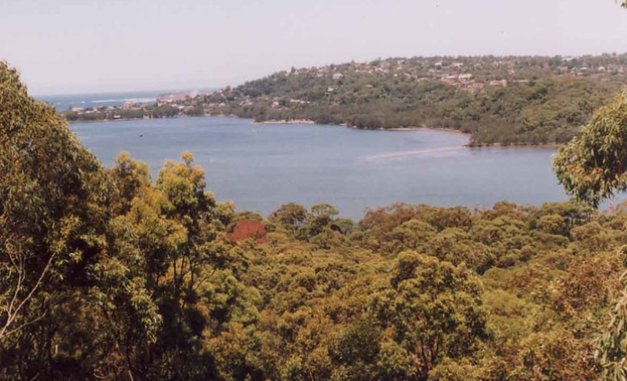
The Narrabeen lagoon is connected to the ocean via a narrow channel which often gets blocked by sand movement along the North Narrabeen beach. As a result, flooding in the area typically occurs when the main body of the Narrabeen lagoon overflows — a phenomenon brought about by heavy rainfall and stormy weather.
Despite the fact that flooding has become highly problematic for the Wakehurst Parkway, one of the primary problems posed by the proposed floodproofing project is that constructing these levee banks and culverts will lead to incredible deforestation — potentially leading to the removal of over 2,000 trees while simultaneously endangering the habitat of a rare species of frog.

These upgrades are estimated to cost $13 million in total, and the Northern Beaches Council has opted to reach out to the community to hear their say on the matter at hand. The road has been established on a sensitive and rich ecosystem that supports numerous plants and animals, many of which are endangered or threatened.
In order to help the community come to a conclusion, a special report is scheduled to be released in May 2021. This report, titled “Wakehurst Parkway Flood Mitigation Feasibility Study”, will provide the public with options and methods for the best way to try and reduce flooding.


